

When a building has stood for centuries, every measurement matters. Whether you are planning a sensitive restoration, applying for listed building consent, or preparing a conservation management plan, a heritage building survey is not simply a technical exercise – it is the foundation upon which the entire project depends. At…

When commissioning a survey for your construction, renovation, or infrastructure project, accuracy isn’t just a technical specification – it’s fundamental to project success. Inaccurate survey data can lead to design errors, on-site clashes, costly remedial work, and project delays. So how accurate are point cloud surveys, and what should you…
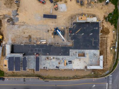
Laser scanning, both mobile and terrestrial as well as drone surveys are transforming the construction industry by offering unprecedented accuracy, efficiency, and insight throughout project lifecycles. From planning and execution to monitoring and reporting, this cutting-edge technology enables construction teams to minimise errors, reduce costs, and streamline workflows. New to…
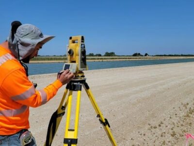
Utilising laser scanning technologies with diverse sets of functions is pivotal for optimising workflows, creating opportunities to improve efficiency and reducing overall costs. Therefore, choosing the right technologies with the best sets of functions is crucial in geomatics. At Merrett Survey, we are constantly looking for ways to enhance the…
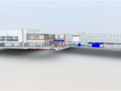
Merrett Survey complete laser scanning and BIM surveys within the construction industry using the latest technology, employing terrestrial laser scanning, photogrammetry and drones. From these rich datasets, we create highly accurate 3D BIM models. BIM is ultimately the capture and maintenance of building information that is to be shared across…
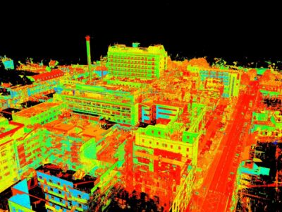
The revolution of laser scanning has transformed the way that we capture and analyse data, with the advanced technology producing point clouds that have unparalleled accuracy. This invaluable tool has meant that key industries, such as surveying, can save time and costs, enhancing productivity methods and project effectiveness overall. At…
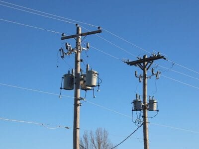
Utility surveys help engineers and architects to understand the location and depth, when underground, of utility services before and during development of a site. From transmission lines that produce electricity to power stations, pipeline distribution routes for oil and gas networks and water distribution pipelines, our surveyors are highly experienced…
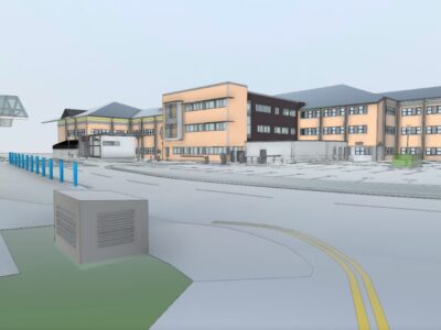
At Merrett Survey, we use the most advanced and up-to-date technology in order to conduct comprehensive and informative surveys for all of our clients. A fundamental method we use is laser scanning, otherwise known as Lidar, where we use a 3D laser scanner to capture the imagery of the site…

Aerial surveys are an important tool for land development projects and are growing in popularity. They are primarily used when conducting topographical surveys in locations that are hard to reach by foot or require a birds eye view, meaning that they can provide a detailed overview of the land and…

Our technically advanced surveyors rely on LiDAR to ensure that they are able to gather important data, revolving around the shape and structure of the Earth’s surface. It is a hugely popular remote sensing method, consisting of numerous laser beams that use advanced light technology to detect the precise measurements…

There have been some marked improvements in construction surveys over the last decade, with new technologies being introduced and operations running much smoother as a consequence. In this article, we look at some of the technologies – such as building information modelling – that have made such developments possible and…
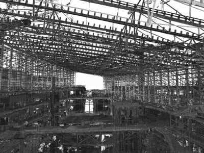
To say that time is money might be a cliché, but it is especially true in the construction industry. A laser scanning survey provides numerous benefits to the construction process and can improve efficiency and accuracy. Modern laser scanners can survey in the region of 1 million points per second,…
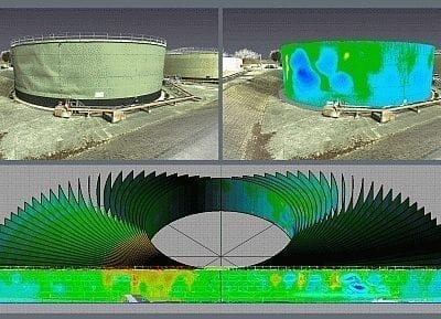
The main advantage of laser scanning when carrying out storage tank surveys is that it facilitates a comprehensive analysis of the tank in question. Instead of measuring a limited number of pre-defined points, the whole surface of the storage tank can be analysed. Scanning allows us to monitor the entire…
