

When a building has stood for centuries, every measurement matters. Whether you are planning a sensitive restoration, applying for listed building consent, or preparing a conservation management plan, a heritage building survey is not simply a technical exercise – it is the foundation upon which the entire project depends. At…

In an era that is experiencing high degrees of climate change, global warming and daunting environmental concerns, BIM surveys are an important surveying tool that can accurately calculate the required quantities of materials and equipment needed for a project, restraining over-ordering and nonessential waste. Limiting the harmful impacts of climate…
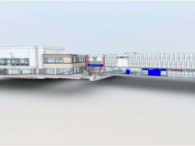
Merrett Survey complete laser scanning and BIM surveys within the construction industry using the latest technology, employing terrestrial laser scanning, photogrammetry and drones. From these rich datasets, we create highly accurate 3D BIM models. BIM is ultimately the capture and maintenance of building information that is to be shared across…
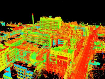
The revolution of laser scanning has transformed the way that we capture and analyse data, with the advanced technology producing point clouds that have unparalleled accuracy. This invaluable tool has meant that key industries, such as surveying, can save time and costs, enhancing productivity methods and project effectiveness overall. At…
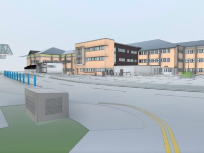
At Merrett Survey, we use the most advanced and up-to-date technology in order to conduct comprehensive and informative surveys for all of our clients. A fundamental method we use is laser scanning, otherwise known as Lidar, where we use a 3D laser scanner to capture the imagery of the site…
