
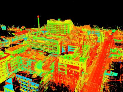
The revolution of laser scanning has transformed the way that we capture and analyse data, with the advanced technology producing point clouds that have unparalleled accuracy. This invaluable tool has meant that key industries, such as surveying, can save time and costs, enhancing productivity methods and project effectiveness overall. At…

Lidar and Drone surveying are highly accurate methods that can effectively map all types of environment, across a wide variety of projects. Their impressive ability to capture highly-technical data is down to their intelligent downward-facing sensors and advanced GPS system, resulting in the capture of crucial aerial survey data. This…

Aerial surveys are an important tool for land development projects and are growing in popularity. They are primarily used when conducting topographical surveys in locations that are hard to reach by foot or require a birds eye view, meaning that they can provide a detailed overview of the land and…
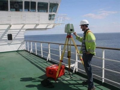
We have had a lot of marine and coastal work lately. Is it because the UK’s overseas trade is increasing? Is it that we have managed to promote our skills in the coastal & marine sector in providing topographical and bathymetric surveys to more people? Is it that the marine…
The annual UKFIDA Expo is always an important event for fuel distributors, depot managers, and anyone else with a connection to the fuel industry. To make contacts in this field and share Merrett Survey’s expertise in applying the latest techniques in storage tank & land surveying, Peter Merrett of Merrett…

Our distinguished team of dimensional building survey specialists have been carrying out important assessments for over four decades. We have carried out all types of measured building surveys in that period, playing our part in the development of commercial projects all over the UK and various countries across different continents.…
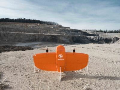
The impact of the coronavirus has been felt across the vast majority of industries and, as organisations look to mitigate the effects, we look at how important technology is in the recovery process. Technology and automation has played a vital role in the advancement of most sectors over the last…

There have been some marked improvements in construction surveys over the last decade, with new technologies being introduced and operations running much smoother as a consequence. In this article, we look at some of the technologies – such as building information modelling – that have made such developments possible and…
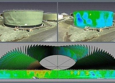
The main advantage of laser scanning when carrying out storage tank surveys is that it facilitates a comprehensive analysis of the tank in question. Instead of measuring a limited number of pre-defined points, the whole surface of the storage tank can be analysed. Scanning allows us to monitor the entire…
