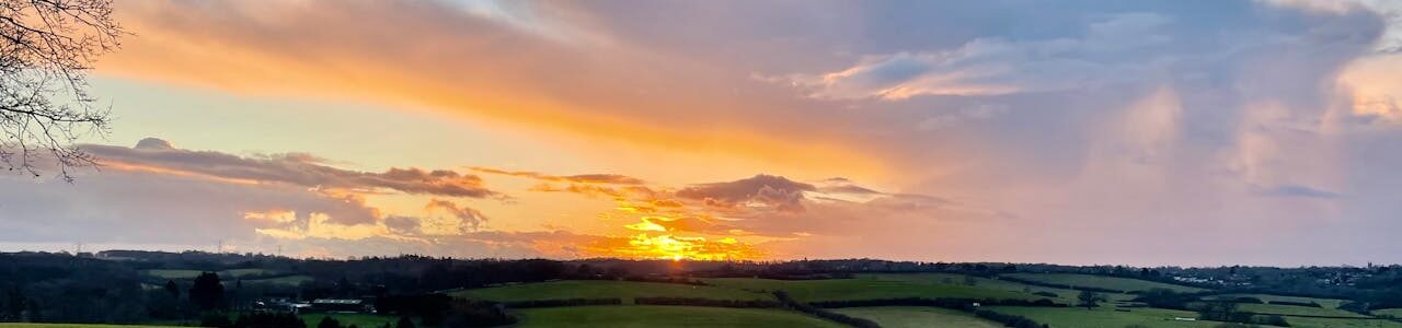
Sunset over rolling green countryside fields with patchy clouds and a tree silhouette in the foreground

Topographical Surveys Dorset

Dorset is a county where development and conservation sit side by side. From the UNESCO-designated Jurassic Coast and the chalk downlands of Cranborne Chase to the expanding urban areas of Bournemouth and Poole, survey projects here require an understanding of both the technical demands of the site and the planning constraints that apply to it.

Merrett Survey provides professional topographical surveys across the whole of Dorset, covering Bournemouth, Poole, Dorchester, Weymouth, Christchurch, Blandford Forum, and Sherborne, as well as border areas extending into Somerset, Wiltshire, and Cornwall. With more than 40 years of geospatial experience, we provide accurate, project-ready survey data for developers, engineers, planners, and contractors working across the county.

Contact Us 


How We Support Survey Projects Across Dorset

Dorset’s varied landscape means no two survey projects are the same. The type of site, its location, and the planning context all influence the survey methodology and the data required. Our team works closely with clients from the outset to make sure the right approach is in place before fieldwork begins.

For coastal and low-lying sites, cliff instability and flood risk are practical considerations that have a direct bearing on the survey data required. We provide high-accuracy elevation data from LiDAR and aerial surveys for use in flood risk assessments and coastal monitoring, including EA-compliant outputs for environmental planning along Dorset’s coastline and tidal river corridors.

For development sites in Dorset’s river valleys – including the Frome, Stour, and Piddle – surface water drainage and groundwater management are common design considerations. Our surveys provide the accurate topographic data that drainage engineers and hydrologists need to model water flow and assess flood risk on rural and semi-rural sites.

In and around Dorset’s towns and villages, listed buildings, conservation areas, and scheduled monuments are a regular feature of the planning landscape. Our measured building surveys and laser scanning services are regularly used to support heritage planning applications, listed building consent, and sensitive refurbishment projects across the county.

For larger commercial and infrastructure projects, particularly around the Bournemouth, Poole, and Christchurch conurbation, we provide full topographic survey packages including land surveys, utility mapping, and 3D BIM-ready outputs to support design and construction teams.

Ready To Get Started?

Get in touch with one of our specialists today

Contact Us

Survey Data and Deliverables

Every survey we carry out in Dorset is delivered in the formats your project team needs. Our topographic surveys capture:

  1. Ground levels, contours, and slope gradients across the full site extent
  2. Existing structures, hardstanding, and boundary features
  3. Vegetation, tree lines, hedgerows, and watercourses
  4. Utility routes and surface infrastructure
  5. EA-compliant data for flood risk and environmental planning

We provide outputs in a full range of formats, including:

Merrett Survey – Your Topographical Survey Partner in Dorset

Our team has extensive experience of working across the South of England and the wider South West, with a solid understanding of the planning environment and site characteristics that apply across Dorset. Whether your project involves a sensitive coastal site, a heritage property, a riverside development, or a large commercial scheme, we provide the accurate, reliable data that your project depends on.

We are available across the whole of Dorset and into neighbouring counties. Contact us today to discuss your requirements or request a bespoke quotation.

Our Frequently Asked Questions

Can you provide topographic surveys for sites along the Jurassic Coast?

Yes. We are experienced in working in and around designated and protected areas, including World Heritage Sites, SSSIs, and Areas of Outstanding Natural Beauty. We understand the survey requirements and planning sensitivities that apply to these locations and can provide data that supports planning applications in protected coastal environments.

Do you carry out flood risk surveys for Dorset development sites?

Yes. We provide EA-compliant topographic data for use in flood risk assessments and surface water drainage studies. This is particularly relevant for sites in Dorset’s river valleys and low-lying coastal areas where flood risk is a key planning consideration.

Can you support heritage planning applications in Dorset?

Yes. Our measured building surveys and laser scanning services provide the level of detail required for listed building consent, conservation area applications, and heritage impact assessments across Dorset’s many historic buildings and settlements.

Find Your Bespoke Topographical Survey Solution Today

Contact one of our specialists

Contact
Contact Us