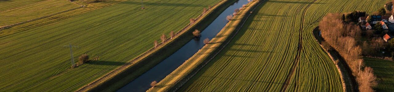
wiltshire countryside fields

Topographical Surveys Wiltshire

Are you looking for accurate and precise topographical surveys in Wiltshire? From large-scale infrastructure and commercial development to heritage building surveys and flood risk data collection, a reliable topographic survey is the essential first step. Accurate ground levels, contours, boundaries, and utility data give your project team the information needed to plan, design, and build with confidence.

At Merrett Survey, we provide high-quality topographical surveys across Wiltshire, including Salisbury, Swindon, Chippenham, Trowbridge, Devizes, Marlborough, and Warminster, as well as border areas extending into Somerset and Dorset. With over 40 years of geospatial experience, we have the expertise and equipment to handle the full range of surveying environments that Wiltshire presents.

Contact Us 


Surveying Across Wiltshire's Varied Environments

Wiltshire covers a wide range of land surveying environments, from the open chalk downland of Salisbury Plain and the commercial areas around Swindon to the heritage-sensitive landscapes surrounding Stonehenge and Avebury.

For infrastructure and highways projects, Wiltshire’s position at the intersection of several major transport routes – including the A303, the M4, and the A36 – means the county sees a steady flow of corridor and highway design survey work. Our team has considerable experience of this type of survey across both rural and semi-urban environments, whilst using the latest aerial survey technology and laser scanning equipment.

The county’s river network, including the Avon, Wylye, Nadder, and Kennet, creates flood risk along many of its valley floors, particularly around Salisbury and the Vale of Pewsey. Our flood surveys and EA-compliant topographic data are regularly used by drainage engineers and planning consultants to support flood risk assessments across Wiltshire.

The presence of scheduled monuments, listed buildings, and conservation areas – including the Stonehenge and Avebury World Heritage Site — creates specific requirements for survey work in many parts of the county. Our measured building surveys and laser scanning services provide the accuracy and level of detail required for heritage impact assessments and planning applications in sensitive areas.

Ready To Get Started?

Get in touch with one of our specialists today

Contact Us

Our Topographical Survey Services in Wiltshire

Our surveys are tailored to the requirements of your specific site and project. Across Wiltshire, our topographical survey work typically captures:

We deliver survey outputs in the format that best suits your workflow:

Merrett Survey – Topographical Surveys Across Wiltshire

Our team brings extensive experience of surveying across the South West and South of England, with a solid understanding of the planning requirements and site characteristics that are common across Wiltshire. From heritage building surveys and flood risk data collection to construction surveys and engineering projects, we deliver accurate, reliable data that project teams can depend on.

We use advanced GPS, drone technology, ground-based laser scanning, and remote sensing equipment to produce high-accuracy survey data across sites of all sizes. Our surveys cover the whole of Wiltshire and extend into neighbouring counties including Somerset and Devon.

Contact Merrett Survey today to discuss your project or arrange a bespoke quotation.

Our Frequently Asked Questions

Do you provide topographic survey data for heritage planning in Wiltshire?

Yes. Wiltshire has a high concentration of scheduled monuments, listed buildings, and conservation areas, and accurate survey data is frequently required as part of heritage planning applications. Our measured building surveys and laser scanning services provide the level of detail required for heritage impact assessments and consent applications.

How long does a topographical survey take in Wiltshire?

Most surveys can be completed within a day or two on site, depending on size and access. Processed deliverables such as CAD drawings or terrain models are then issued within agreed timeframes.

How much does a topographical survey in Wiltshire cost?

Costs depend on site size, terrain, access requirements, and the deliverables needed. We provide tailored quotations for every project – please get in touch to discuss your requirements in more detail.

Find Your Bespoke Topographical Survey Solution Today

Contact one of our specialists

Contact
Contact Us