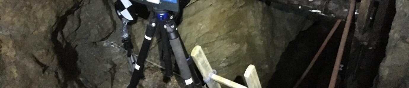
Production of highly accurate underground maps for the mining, quarrying and natural resource sector is one of the most demanding forms of surveying. Underground land surveys involve working in tight, hazardous and enclosed spaces, which are uneven and difficult to access and GPS coverage is, obviously, non-existent.
Peter Merrett trained as a Mining Engineer at the Camborne School of Mines before starting Merrett Survey Limited. Therefore, we understand the needs of the mining community. Our work in the mining and mineral extraction sector has been completed in many countries, such as Guinea, Liberia, Ivory Coast, Sierra Leone, Ecuador, Greenland, Morocco, Austria and the United Kingdom. See our international surveying experience page for more information about the countries we’ve completed projects in.
Our mining survey offerings range from aerial lidar survey for major mine infrastructure (road, rail, pipeline, powerline & utilities access), mine site planning and mineral exploration, to stockpile surveys using mobile laser scanning and UAVs (drones). We can provide underground surveys and above ground surveys using conventional or 3D laser scanning methods, plus 3D modelling of complex process plants.
The image below shows a mine survey created using a terrestrial laser scanner in Europe. The mining survey was required as the existing mapping was out of date and inaccurate. The historic workings were in close (but unknown) proximity to new workings and so the tunnels needed to be accurately mapped in order to avoid exploration boreholes from striking extant underground workings.

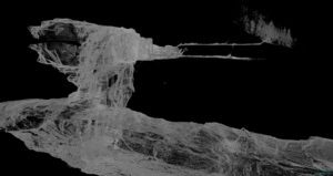
We laser scanned specific locations in order to assist with ore reserve calculations and pillar stress analysis. Over and underbreak during driveway development was accurately measured, which should lead to cost savings made by optimising the blast patterns and waste rock transport.
